


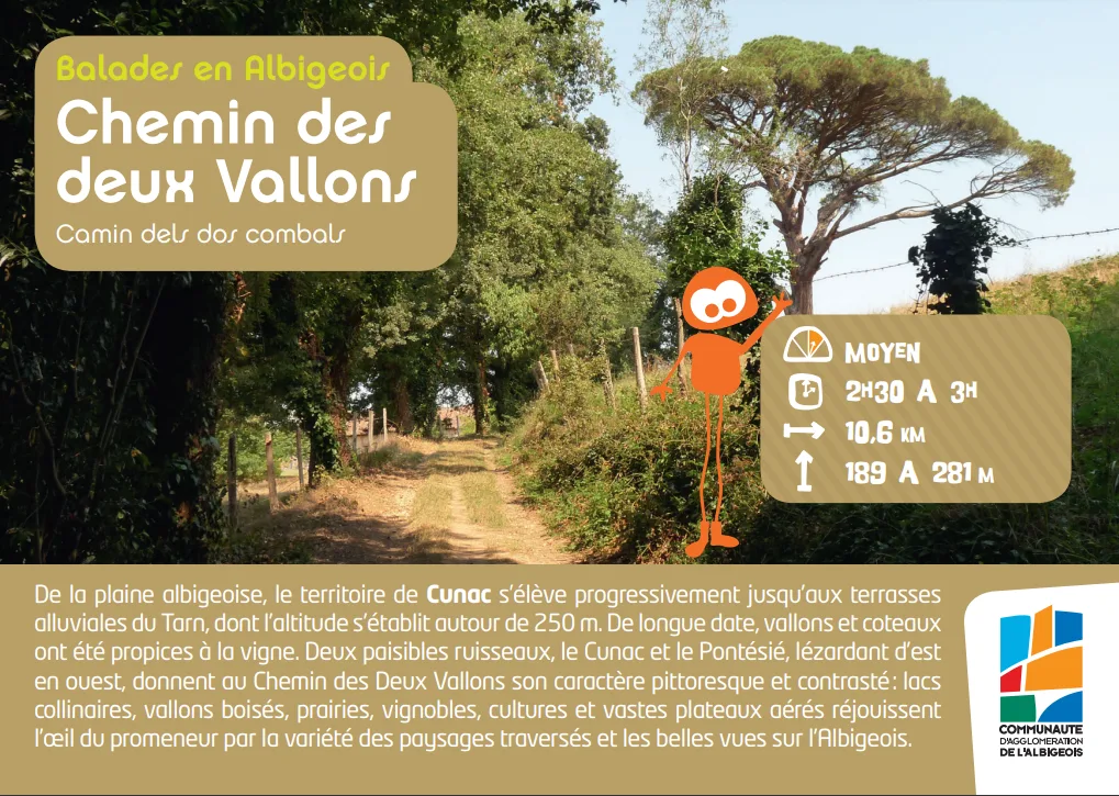
From the Albigensian plain, the territory of Cunac gradually rises to the alluvial terraces of the Tarn, whose altitude is around 250 m. For a long time, valleys and hillsides have been conducive to vines. 2h45/10km600/medium
Route details
Description
Two peaceful streams, the Cunac and the Pontésié, lazing from east to west, give the Chemin des Deux Vallons its picturesque and contrasting character: hilly lakes, wooded valleys, meadows, vineyards, crops and vast airy plateaus delight the eye of the walker. by the variety of landscapes crossed and the beautiful views of the Albigeois.