
Lou camin dels castanhals
The deep furrow dug by the waters of the Tarn in the old lands of Ségala can remain unsuspected from the road to the plateau. But the path of Truel restores the truth, frolicking between slopes and domes beaten by the winds.
Route details
Description
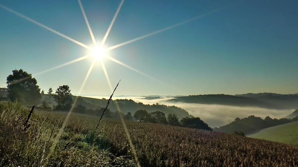
Plateau and valleys: the contrast
Average altitude of the plateau: 400 m. Average altitude of the valleys below: 200 m. A striking contrast born from the determination of the waters to establish their own territory, that of the valleys. They easily nicked the soft layers that make up most of the board. They made their way through the quartz (Gourg Nègre du Dadou, Arifat du Bardès). Encashed, rolling among the woods, they maintain their wild aspect. It is the lower country. Above, on the flatness, emerge only the water towers and the churches. Human activities confirm the contrast: a cereal and pastoral plateau, forest valleys whose water works (fish farming, mills, hydroelectric dam, etc.).
Average altitude of the plateau: 400 m. Average altitude of the valleys below: 200 m. A striking contrast born from the determination of the waters to establish their own territory, that of the valleys. They easily nicked the soft layers that make up most of the board. They made their way through the quartz (Gourg Nègre du Dadou, Arifat du Bardès). Encashed, rolling among the woods, they maintain their wild aspect. It is the lower country. Above, on the flatness, emerge only the water towers and the churches. Human activities confirm the contrast: a cereal and pastoral plateau, forest valleys whose water works (fish farming, mills, hydroelectric dam, etc.).