


The Tarn River, from its source at Mont Lozère, runs 375 km.
Arrived at the gates of Trébas, it borders the department of Aveyron on its left bank and on its right bank, that of the Tarn.
The river is about halfway here.
Arrived at the gates of Trébas, it borders the department of Aveyron on its left bank and on its right bank, that of the Tarn.
The river is about halfway here.
Route details
Description
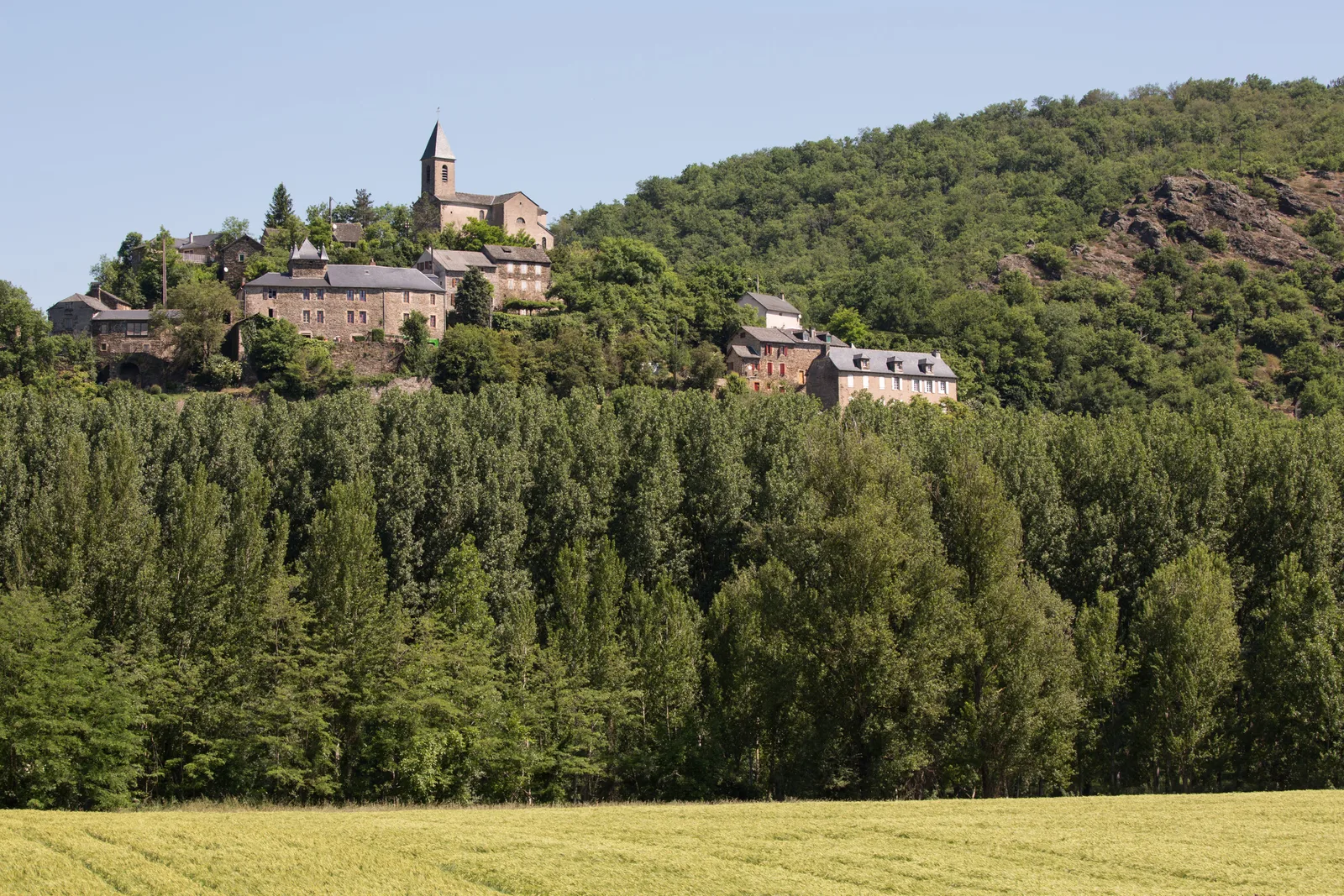
Gaycre was populated by the Iberians in the 1835th century. Indeed, this name comes from the Iberian “Garritz” which gives in Occitan, then in Old French “Garric”… oak. This tree adorned the coat of arms of this medieval village which was built on a rocky promontory from where you will have a superb view of the valley. This pretty perched hamlet, visible from afar, is nicknamed “the little Mont Saint Michel du Tarn”. The XNUMXth century castle and the three bread ovens, two of which are still present, were an exceptional sign of wealth in the Middle Ages. In XNUMX, the commune of Gaycre merged, by Royal Ordinance, with Cadiz ceased to exist. It becomes a “gap” from Cadiz.
During your hike, you will discover varied landscapes and a rich little heritage (washhouse, cazelle, cross).
During your hike, you will discover varied landscapes and a rich little heritage (washhouse, cazelle, cross).